


Latest News and Features

Northumbria's world-leading research showcased to UK's national science funders
The governing body of UK Research and Innovation (UKRI) has visited Northumbria University…

Northumbria University appoints new Deputy Vice-Chancellor and Provost
Northumbria University has announced that Professor Andy Dougill will become its new Deputy…
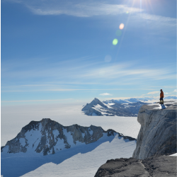
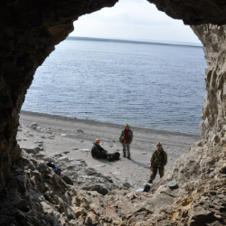
Royal Honour as leading researcher awarded Polar Medal
Professor John Woodward has been awarded The Polar Medal in recognition of his outstanding…
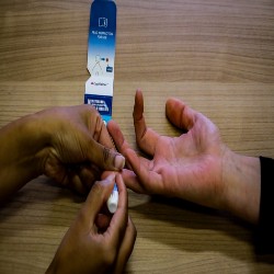
Northumbria University leads pioneering research to tackle hidden lead exposure in children
Pioneering research launches in Leeds to test new approach to assessing the risk to children…
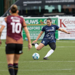
International students at Northumbria embark on FA Cup dream
A team of international college students studying at Northumbria University could soon find…

Northumbria expands results day support for students
Northumbria University is expanding and enhancing the support it provides to students receiving…
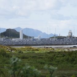
Supporting the ethical development of UK spaceports
A Northumbria University academic is helping to ensure the UK’s ambitions to build a thriving…
Research reveals Arctic region was permafrost-free when global temperatures were 4.5˚C higher than today
Scientists have found evidence that the Asian continent was free of permafrost all the way…
More events
Upcoming events

Northumbria University Carol Service 2026
Newcastle Cathedral
-
Page last updated 21/05/26
